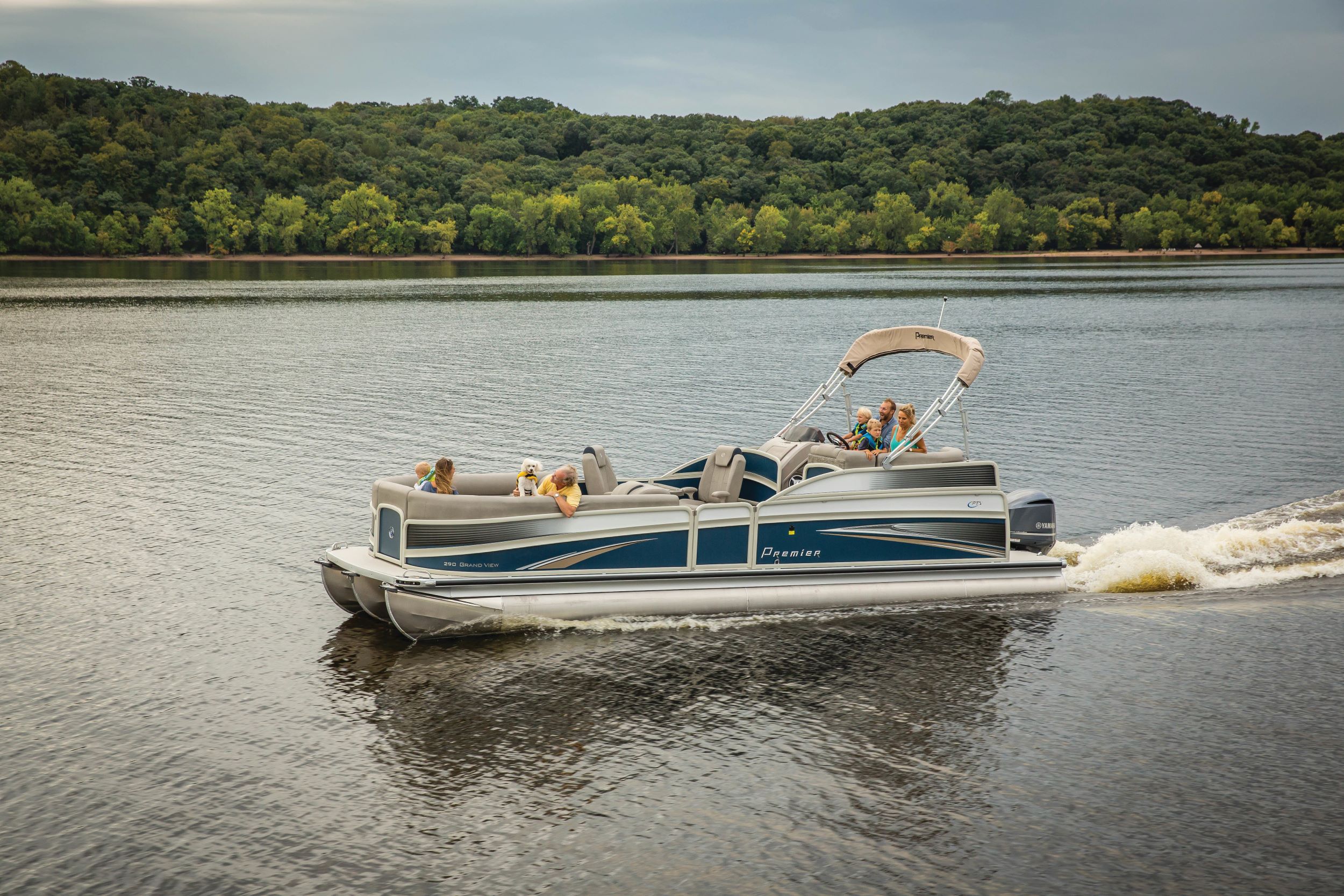
This unique nine-and-three-quarter-mile aquatic trail provides boaters with a different perspective of The Lake of the Ozarks State Park when viewed from the Lake.
The diversity of the park and its natural communities are showcased with stops to view woodlands, glades, streams and geological structures. The trail is accessible from the
water only and users must provide their own boats.
An aquatic trail guide is available at various locations in the park and is recommended before launching on this unique
interpretive trail.
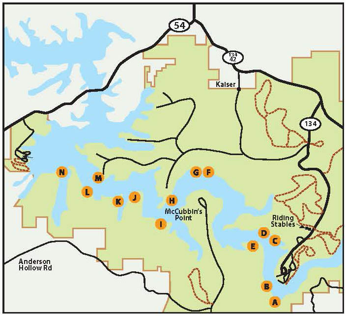
This is a self-guided tour by water for those looking to explore on their own. Each of the trail’s 14 stops are marked with an orange and white buoy.
A) Lumberman’s Logging Chute
B) Limestone & dolomite fracturing
C) Naturally solar heated bluff
D) Nature’s Apartment Houses
E) Example of sediment extending the cove banks.
F) Lichens
G) Remains of lake reefs developed in ancient seas.
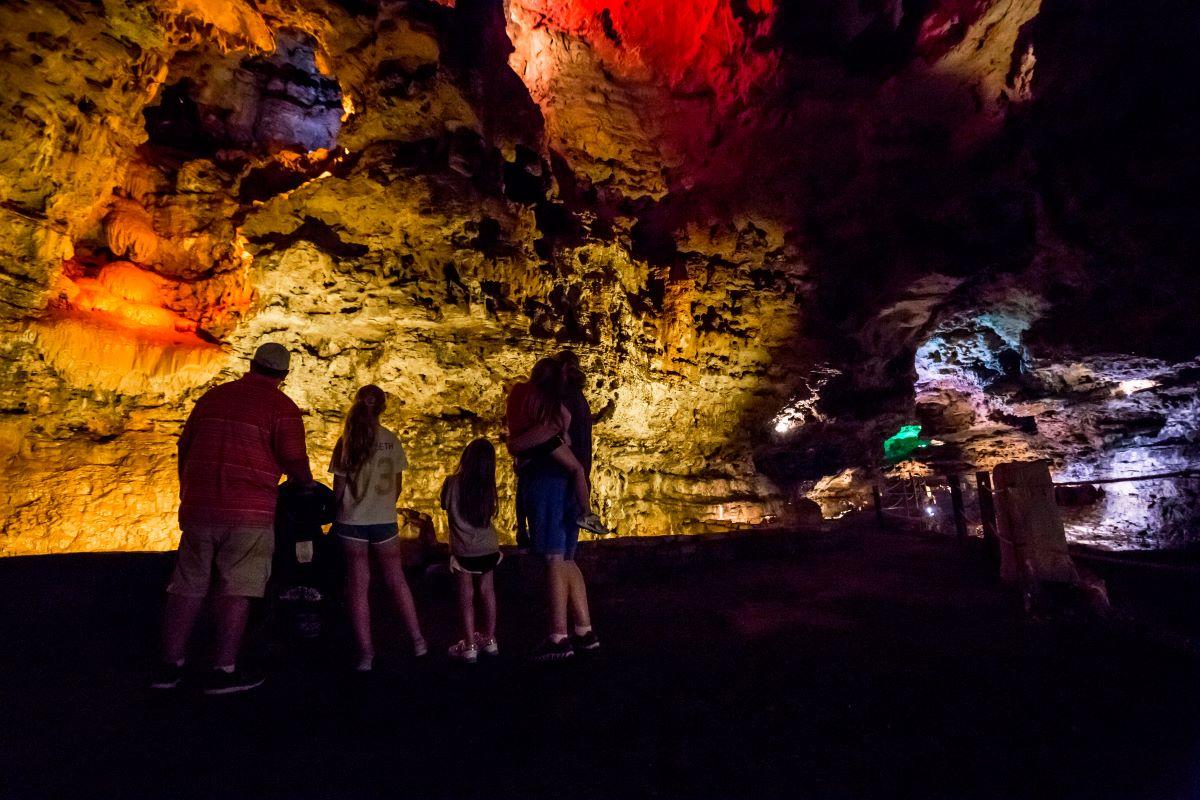
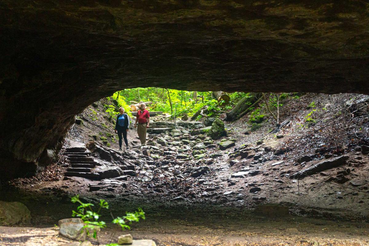
H) Cave, typical of the region’s “karst” topography
I) Glade, Missouri’s version of a desert
J) Natural chert gravel beach.
K) Best growing conditions in the Ozarks
L) “Pigeon Holes”
M) “Slumping” and “Creeping”
N) Nature’s window in the bluff: “Slice Arch”
Missouri State Parks Lake of the Ozarks Aquatic Trail Map